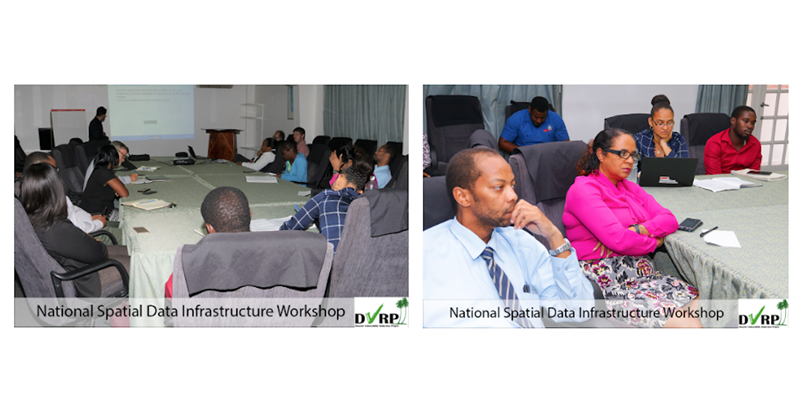
MILESTONES MADE TOWARD ESTABLISHING A NATIONAL SPATIAL DATA INFRASTRUCTURE WILL BE SHOWCASED AS A PART OF GIS DAY ON NOV. 16.
 November 16, 2022, is GIS day, an international celebration of Geographic Information Systems (GIS), a powerful spatial data technology that has done much to shape the modern world. This year’s national celebrations will feature work toward the establishment of Saint Lucia’s National Spatial Data Infrastructure (NSDI) in order to enhance capacity to acquire, process, store, distribute, and utilise geospatial data.
WHAT IS SPATIAL/GEOSPATIAL DATA?
Geospatial data is data about objects, events, or phenomena that have a location on the surface of the earth. The location may be static in the short term (e.g., the location of a road, an earthquake event, children living in poverty), or dynamic (e.g., a moving vehicle or pedestrian, the spread of an infectious disease). Geospatial data combines location information (usually coordinates on the earth), attribute information (the characteristics of the object, event, or phenomena concerned), and often also temporal information (the time or life span at which the location and attributes exist). (Science Direct - Geospatial Data).
CHALLENGE
While several agencies in Saint Lucia utilise geographic information systems (GIS) to store, manage and analyse geospatial data, there is no centralised system (NSDI) to facilitate inter-agency collaboration through seamless sharing of the most current versions of datasets to build synergies between their efforts.
This results in agencies not having access to the full range of up-to-date datasets required to enhance their operations and lead to better decision making. Ultimately, it means that critical analyses to facilitate best decision making across priority sectors such as disaster management, physical planning, economic development, agricultural production and environmental protection cannot easily be performed.
DVRP SOLUTION UPDATE
Saint Lucia’s National Spatial Data Infrastructure (NSDI) will facilitate sharing and analysis of spatial data across multiple sectors and agencies to support critical national planning and decision-making processes. The DVRP-funded NSDI Implementation Support consultancy which commenced in January 2022 is now well advanced and edging Saint Lucia closer to the vision of a functional NSDI which will rely on a combination of technology, policies, standards, and human resource development.
Work under the consultancy to date has focused on building the governance framework and information technology infrastructure to support the NSDI, including configuring and establishing network infrastructure for hosting spatial data. Work around the governance framework prioritises supporting the operationalisation of the GIS Unit within the Department of Physical Development and Urban Renewal. It also includes important work to ensure the smooth administration of the NSDI such as:
- Preparation of draft memoranda of understanding (MoU) for stakeholders who will share their data through the NSDI;
- Arrangements for using the Open Data Portal as a platform for sharing spatial data and;
- Updating the roles and responsibilities of the National GIS Coordinating Committee (NGCC) and the National GIS Technical Committee (NGTC) to support the strategy for NSDI implementation.
Milestones toward NSDI implementation will be showcased as a part of GIS Day on November 16, 2022. More details about the celebrations will be announced in the media at the beginning of November.
The consultancy is being undertaken by a Joint Venture which brings together expertise from the Netherlands’ Cadastre, Land Registry and Mapping Agency (Kadaster) and KU Leuven Research and Development of Belgium. The consultancy team includes a local geospatial expert, Andrina Abraham. The Department of Physical Development and Urban Renewal is the lead agency and is responsible for successful contract implementation by April, 2023. The NGCC and NGTC will continuously build upon the progress made under this consultancy to fully deliver and enhance Saint Lucia’s NSDI overtime.
The NSDI Implementation Support consultancy builds upon an earlier consultancy implemented under the DVRP in 2019 by the same team which sought to establish the foundational building blocks required to implement an NSDI. The DVRP has also funded training in free and open-source GIS software (QGIS) and information technology upgrades to support development of Saint Lucia’s NSDI.